Interstate 5 Oregon Freeway Road Conditions, Weather, and Traffic Web Cams
I-5 including Siskiyou Summit, Ashland, Medford, Grants Pass, Sexton Pass, Myrtle Creek, Roseburg, Eugene, Albany, Salem & Portland


Wait for all images to load, then click on the image for a larger picture

Interstate 5 at California Oregon border, elevation 3335 feet, between Yreka and Ashland.  Courtesy Oregon Department of Transportation. Interstate 5 at Siskiyou Summit, elevation 4310 feet, between Ashland Oregon and Yreka California.  Courtesy Oregon Department of Transportation. Interstate 5 Siskiyou Exit 6, elevation 4060 feet, between Ashland Oregon and Yreka California.  Courtesy Oregon Department of Transportation.
I-5 Oregon California border
(ODOT's TripCheck.com)

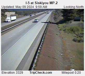
I-5 Siskiyou Pass
(ODOT's TripCheck.com)

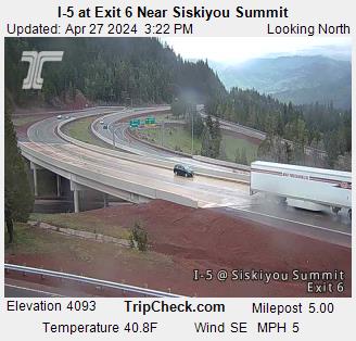
I-5 Siskiyou / Mt. Ashland Exit 6
(ODOT's TripCheck.com)

Southbound Interstate 5 Ashland at Siskiyou Summit chain-up area, elevation 2080 feet.  Courtesy Oregon Department of Transportation. I-5 at Mountain Avenue, Milepost 16.7, elevation 1830 feet.  Courtesy Oregon Department of Transportation. I-5 Phoenix OR, elevation 1480. Courtesy Oregon Department of Transportation
I-5 Ashland 2080 ft.
(ODOT's TripCheck.com)

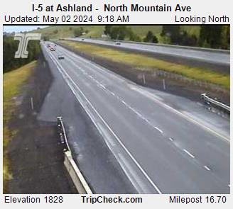
I-5 Ashland 1830 ft
(ODOT's TripCheck.com)

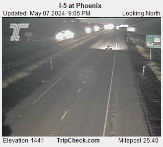
I-5 Phoenix 1480ft
(ODOT's TripCheck.com)

I-5 near South Medford Interchange, view south. Courtesy ODOT. I-5 at Highway 62, Medford. Courtesy ODOT. Grants Pass, Oregon camera.  This webcam is courtesy Josephine County Oregon.
I-5 South Medford
(ODOT's TripCheck.com)

I-5 @ Hwy 62, Medford
(ODOT's TripCheck.com)

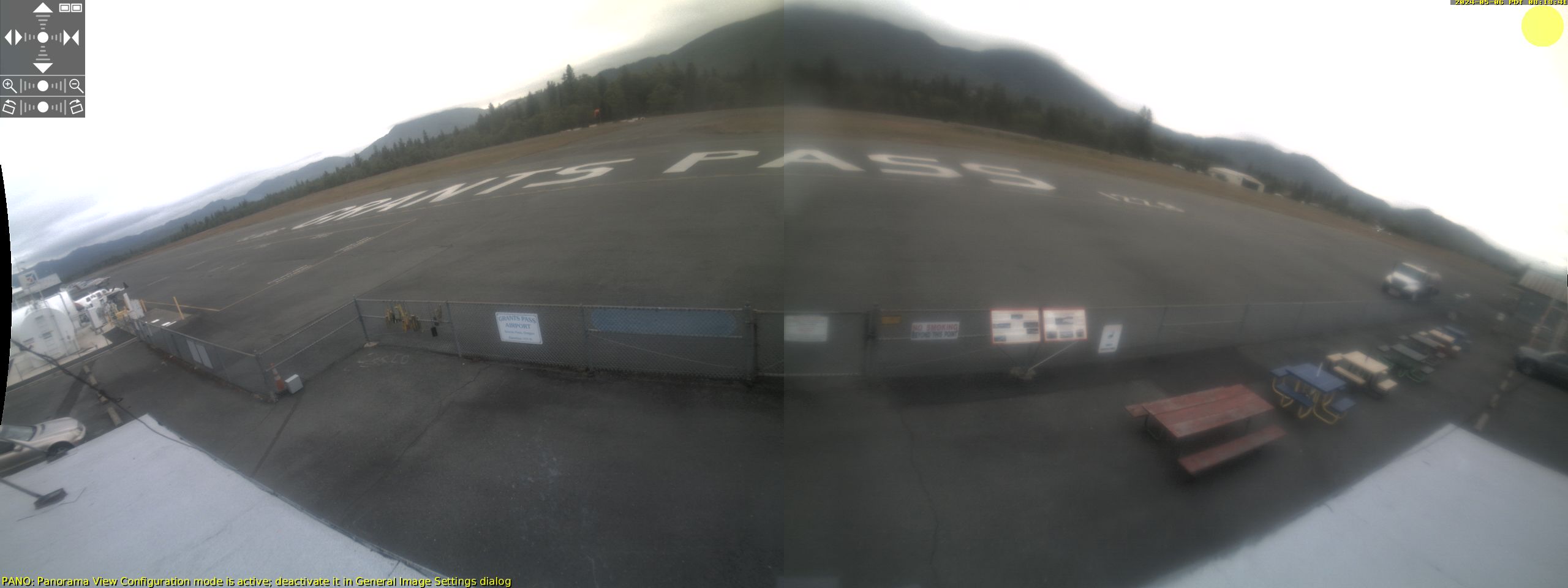
Grants Pass Airport,OR
(co.josephine.or.us)

Interstate 5 at Hugo, view Northbound at Milepost 64, elevation 1500 ft. I-5 at Milepost 69, Sexton Mountain Pass, view south. Courtesy ODOT. Interstate 5 at Glendale at Milepost 83.5, elevation 1500 ft, seven miles north of Wolf Creek.
I-5 Hugo, MP64 elev. 1500ft
(ODOT's TripCheck.com)

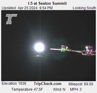
I-5 Sexton Mtn. MP64 elev 1960ft
(ODOT's TripCheck.com)

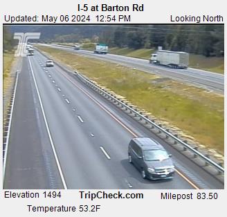
I5 Glendale,MP83.5 elev 1500ft
(ODOT's TripCheck.com)

I-5 at Canyon Creek Pass. Courtesy ODOT. I-5 at Myrtle Creek, view south. Courtesy ODOT. I-5 at Milepost 125, Roseburg, view north. Courtesy ODOT.
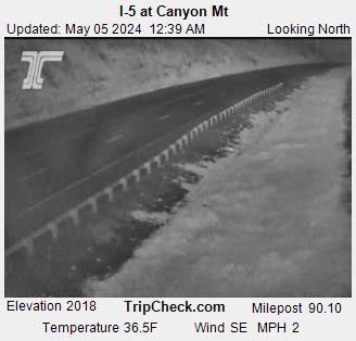
I5 Canyon Mtn MP90 elev. 2020ft
(ODOT's TripCheck.com)

I-5 Myrtle Creek
(ODOT's TripCheck.com)

I-5 MP125 Roseburg
(ODOT's TripCheck.com)

Interstate 5 Rice Hill, MP 147.20. Courtesy ODOT. I-5 at Ward's Butte, south of Cottage Grove, just south of  Lane-Douglas county line. Courtesy ODOT. I-5 S. Eugene, MP 191.  Courtesy Oregon Department of Transportation.
I-5 Rice Hill Elev 1500 ft
(ODOT's TripCheck.com)

I-5 south of Cottage Grove
(ODOT's TripCheck.com)

I-5 South Eugene
(ODOT's TripCheck.com)

I-5 Salem, Oregon.  Courtesy Oregon Department of Transportation. Portland Portland
I-5 Salem
(ODOT's TripCheck.com)

I-5 Portland
(ODOT's TripCheck.com)

I-5 Fremont Br Portland
(ODOT's TripCheck.com)


colorline


colorline

Highways connecting to Interstate 5 Oregon featured on billterpeningmedford.com

Interstate 5 California
Interstate 5 Washington
Interstate 84 Oregon
Highway 140 (Medford to Winnemucca)
Highway 199 (Grants Pass to Crescent City)

colorline

ODOT Road Information

colorline

More Weather Related Information...

Forecasts    Roads    Skiing    Rivers     Fires     Earthquakes     Pass Cameras
Interstate 5 California    Interstate 5 Washington    Interstate 84 Oregon
Hwy 140    Hwy 97    Hwy 395    Hwy 101

colorline

More from Bill Terpening Medford Fuel...

Medford Fuel Home Page
billterpeningmedford.com