Southern Oregon Webcams around Medford Oregon
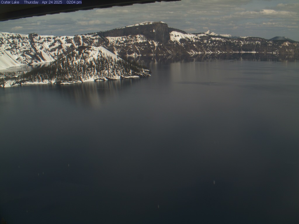
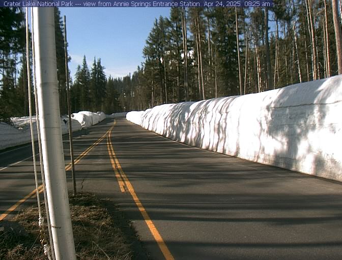
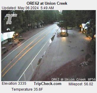
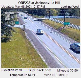
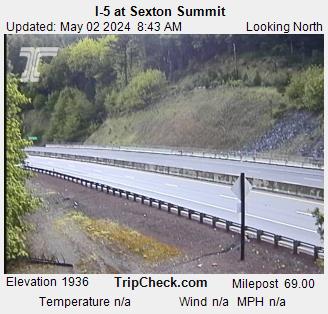
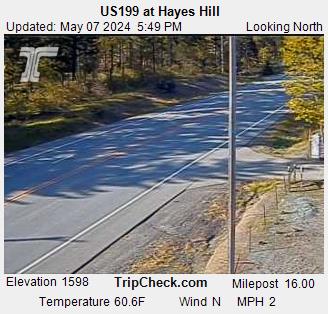
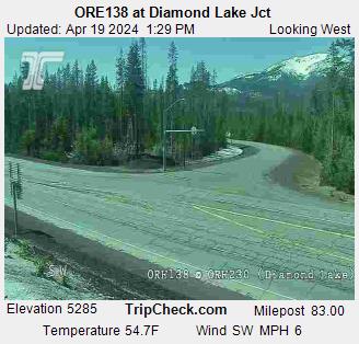
Including Crater Lake, Highways 62 & 66, Oregon 238, Ashland, Central Point, Grants Pass, Lake of the Woods, & Jacksonville Hill

    Wait for all images to load, then click on the image for a larger picture

I-5 at East Pine Street, Central Point.  Elevation 1500 ft, Milepost 32.7. Courtesy ODOT. Hiway 62 at Poplar Drive, Medford. Courtesy ODOT. I-5 at Highway 62, Medford. Courtesy ODOT.
I5 @ E. Pine, Central Point
(ODOT's TripCheck.com)

Hwy 62 @ Poplar, Medford
(ODOT's TripCheck.com)

I-5 @ Hwy 62 Medford
(ODOT's TripCheck.com)

I-5 viaduct southbound, Medford. Courtesy ODOT. I-5 viaduct northbound, Medford. Courtesy ODOT. I-5 South Medford Interchange at Garfield. Courtesy ODOT.
I-5 Medford Viaduct
(ODOT's TripCheck.com)

I-5 Medford Viaduct @ 12th St
(ODOT's TripCheck.com)

I-5 South Medford Interchange
(ODOT's TripCheck.com)

Highway 140 near Lake of the Woods, between  Medford and Klamath Falls, Oregon.  Courtesy Oregon Department of Transportation. Crater Lake National Park and Wizard Island. Hwy 62 Oregon at Crater Lake National Park Annie Springs entrance, courtesy NPS.gov
Hwy 140 Lake of the Woods
(TripCheck.com)

Crater Lake
(National Park Service NPS.gov)

Annie Springs entrance Hwy 62
(National Park Service NPS.gov)

Highway 62 at Union creek, Oregon, courtesy ODOT. Highway 238 at Jacksonville Hill, Courtesy ODOT. Jacksonville Hill Hwy 238. Courtesy ODOT.
ORE62 at Union Creek
(ODOT)

Hwy 238 Jacksonville Hill west
(ODOT's TripCheck.com)

OR 238 Jacksonville Hill east
(ODOT's TripCheck.com)

Dead Indian Memorial Road summit between Ashland and Lake of the Woods, Oregon, courtesy Jackson County Oregon and ODOT. Klamath Falls Webcam, Highway 97 at Green Springs Interchange, courtesy ODOT. Highway 66 east of Ashland Oregon
Dead Indian Memorial Rd summit
(Jackson County & ODOT)

US 97@ Hwy 66, Klamath Falls
(TripCheck.com)

Hwy 66 @ Hyatt Lake Rd
(ggs.net)

I-5 Phoenix OR, elevation 1480. Courtesy Oregon Department of Transportation Northbound Interstate 5 Ashland at Siskiyou Summit chain-up area, elevation 2080 feet.  Courtesy Oregon Department of Transportation. Southbound Interstate 5 Ashland at Siskiyou Summit chain-up area, elevation 2080 feet.  Courtesy Oregon Department of Transportation.
I5 Phoenix Oregon
(ODOT's TripCheck.com)

I-5 Ashland, NB
(ODOT's TripCheck.com)

I-5 Ashland, SB
(ODOT's TripCheck.com)

Interstate 5 at Siskiyou Summit, elevation 4310 feet, between Ashland Oregon and Yreka California.  Courtesy Oregon Department of Transportation. Interstate 5 Siskiyou Exit 6, elevation 4060 feet, between Ashland Oregon and Yreka California.  Courtesy Oregon Department of Transportation. I-5 at Sexton Mountain Pass, view north. Courtesy ODOT.
I-5 Siskiyou Pass
(ODOT's TripCheck.com)

I-5 Siskiyou / Mt. Ashland Exit 6
(ODOT's TripCheck.com)

I-5 Sexton Mountain Pass
(ODOT's TripCheck.com)

Interstate 5 at Hugo, view Northbound at Milepost 64, elevation 1500 ft. Redwood Highway 199 Hayes Hill Summit.  Camera is occasionally down; be sure to check date and time on the picture to be certain  it is up-to-date. Courtesy Oregon Department of Transportation. Oregon 138 / Oregon 230 near Diamond Lake. Camera is occasionally down; be sure to check date and time on the picture to be certain  it is up-to-date. Courtesy Oregon Department of Transportation.
I-5 Hugo NB
(TripCheck.com)

Redwood Hwy 199, Hayes Hill
(TripCheck.com)

Hwy 230/138 nr Diamond Lake
(TripCheck.com)


colorline


colorline

    Pacific Pride Commercial Fueling Locations    

Click for Pacific Pride locations in and around Medford

colorline

ODOT Road Information


colorline

More Weather Related Information...

Forecasts    Roads    Skiing    Rivers     Fires     Earthquakes     Pass Cameras
Interstate 5 Oregon    Interstate 5 California    Interstate 5 Washington    Interstate 84 Oregon
Hwy 140    Hwy 97    Hwy 395


colorline

More from Medford Fuel...

Medford Fuel Home Page
billterpeningmedford.com